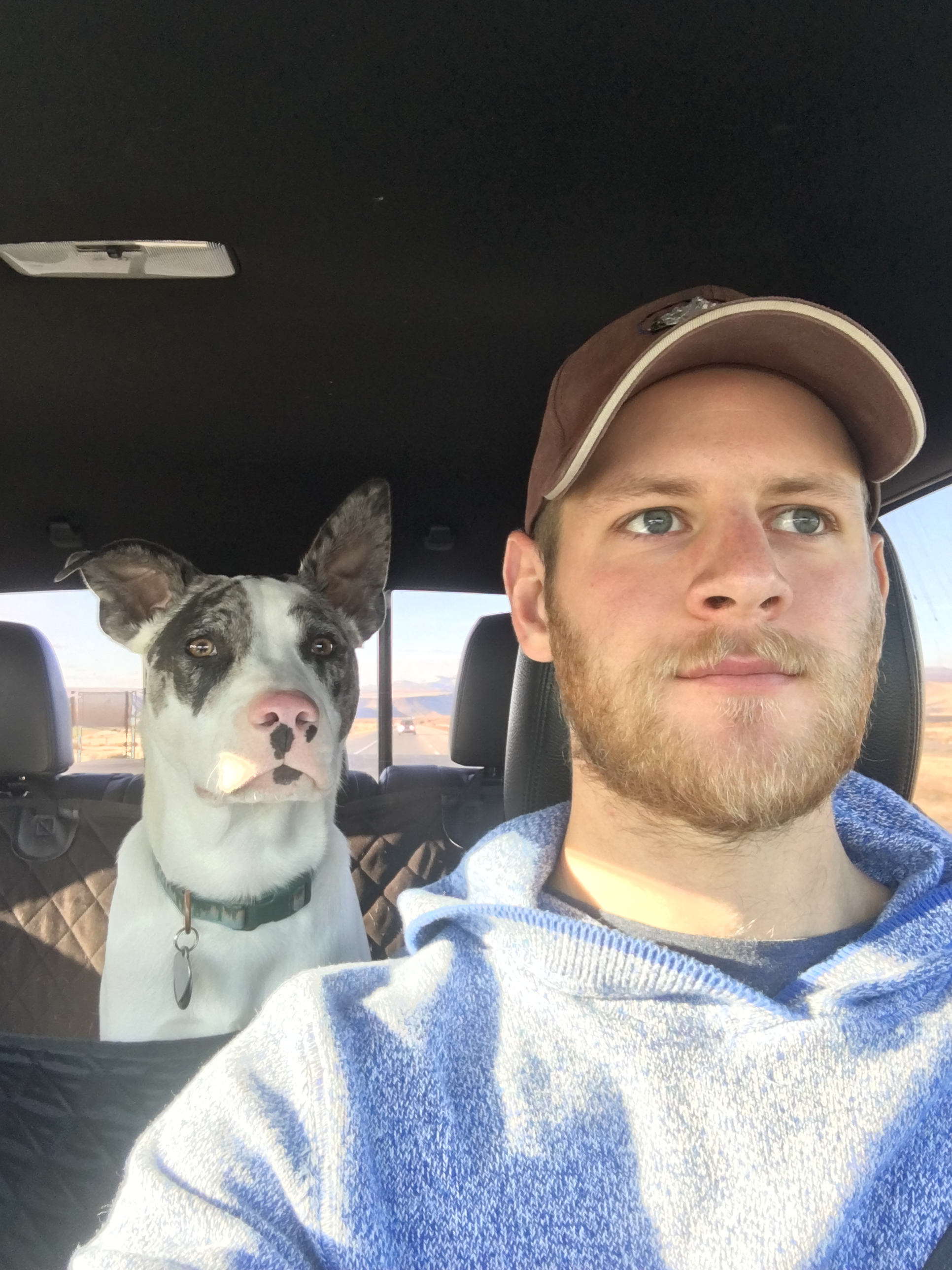
Forrest Corcoran
Forrest Corcoran is a scientist, engineer, and researcher pursuing a Ph.D. in Civil
Engineering (Geomatics), as well as minor concentrations in Artificial Intelligence and
Mathematics, from Oregon State University. Forrest also holds a Masters of
Science in Applied Geosciences with a specialty in Geographic Information Systems & Spatial
Analysis from the University of Pennsylvania. Previously, Forrest worked in public and
private industry, including two consecutive contracts with NASA.
Forrest's research fuses remotely sensed satellite data with modern data analysis techniques
such as machine learning, computer vision, and numerical modeling in order to solve problems in the field of
environmental science. As a NASA scientist and graduate student, Forrest has worked on projects
including landslide hazard mapping, invasive plant species identification, drought impact analysis,
and coastal ocean water quality. Most recently, at Oregon State University, Forrest has worked on algorithm
development for NASA's ICESat-2 satellite mission - a first-of-its-kind spaceborne, photon couting lidar system.
When he's not analyzing data or writing code, you can find Forrest surfing on the Oregon coast,
snowboarding on Mt. Bachelor, hiking and jogging around the Williamette Valley, or cross country
skiing out in the woods. If you do see Forrest out in the wild, his dog Oscar is probably
nearby!
Oregon State University
Ph.D. Civil Engineering (Candidate) - Current
Forrest started his Ph.D. in Civil Engineering at Oregon State University in September, 2020. His research focuses on the application of NASA's ICESat-2 satellite lidar to coastal ocean
bathymetry and benthic habitat mapping. He is currently part of the Parrish Research Group, led by his advisor Dr. Chris Parrish. Forrest recently submitted the second of his three papers required to
complete his doctoral dissertation and is waiting for the results of a peer review. Although his first year as a doctoral student was hampered by the Covid-19 pandemic, Forrest has been enjoying the
wide variety of scenic hiking spots around Corvallis, OR. He looks forward to taking in-person classes soon and working in Parrish Research Groups lab.
NASA (Jet Propulsion Laboratory)
DEVELOP Team Lead - Winter 2020
In early 2020, Forrest accepted a second internship with NASA DEVELOP, this time at the Jet Propulsion Laboratory in Pasadena, CA. He served as the team lead for a team of 4 interns studying
overdrafting of the Central Valley Aquifer using satellite data. They used data from NASA's Gravity Recovery and Climate Experiment (GRACE) to determine the change in groundwater levels over a 17 year period and compared
those results with data from wells distributed across the aquifer. Likewise, they used Interferometric Synthetic Aperature Radar (InSAR) from the Sentinel-1 satellite to measure the ground subsidence caused by groundwater depletion
and compared it to long term monitoring data from GPS stations. The results showed that these techniques could be used by local government to measure groundwater depletion in under reported regions of the Central Valley and
gave the California Department of Water Resources (DWR) a tool to help enforce the Sustainable Groundwater Management Act (SGMA).
As team lead, Forrest was responsible for scheduling and leading meetings with contacts at the California DWR, as well as ensuring that the team met their deadlines for submitting deliverables and updates.
NASA (Colorado State University)
DEVELOP Team Member - Fall 2019
After recieving his Master's in 2019, Forrest took an internship with NASA as part of the DEVELOP Program working out of Colorado State University's Natural Resources Ecology Laboratory in Fort Collins, CO. Forrest served as the data manager/analyst for
a team of 4 interns conducting research on invasive grass species in Medicine Bow National Forest in Wyoming. The team conducted in situ surveys of cheatgrass density across the National Forest and compared the results with satellite imagery. By calculating various
spectral indices from the images they developed a suite of features that could be used to probabalistically map cheatgrass distribution across Medicine Bow using maching learning. These results helped the US Forest Services to better target their use of pesticides when combatting cheatgrass.
University of Pennsylvania
M.S. Applied Geoscience - 2017-2019
Forrest attended the University of Pennsylvania from 2017-2019. He graduated with a Master's of Science in Applied Geosciences (MSAG) with an emphasis in Engineering Geology and a certification in GIS & Spatial Analysis.
It was during his time in Philadelphia that Forrest discovered his passion for programming and problem solving. Likewise, it was during this time that Forrest took Professor Dana Tomlin's course, Modeling Geographic Space, and discovered
the power of GIS and remote sensing. In the summer after his first year at UPenn, Forrest took an internship on the other side of the country, in Tacoma, WA, as a landslide hazard mapping intern for Pierce County.
While working for Pierce County, he formulated a project to map landslide hazards across the entire county using a combination of supervised and unsupervised machine learning methods. This project eventually became his Master's thesis, which
won the Best MSAG Capstone Project Award in 2019.
Colorado College
B.A. Geology - 2013-2017
Forrest attended Colorado College from 2013-2017, where he graduated with a Bachelors in Geology. During his time at CC, Forrest became passionate about Earth and environmental science, and particularly the fields of geophysics and geomorphology.
For his senior year thesis, Forrest, with help from visit professor Bobby Karimi, developed a landslide hazard model for the entire state of Arizona using GIS. They then spent 3 weeks camping at various sites in Arizona and conducting shallow subsurface
geophysical surveys of known and suspected landslides. By comparing the subsurface tomographies of the known and suspected landslides, they were able to identify previously unmapped landslides by detecting their underground slip surfaces.
Forrest was also a 4 year member of the Colorado College NCAA Men's Lacrosse team, though his senior season was cut short due to injury.